It's always good to have a hard copy map when traveling in areas that have less than idyllic WiFi. In this situation, may we suggest Nat GEO PDF Quad maps.
Check it out!
https://www.natgeomaps.com/trail-maps/pdf-quads
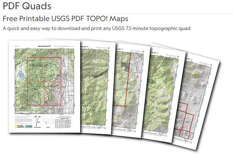
This is an example of what you'll get... Lassen Peak, CA
National Geographic is allowing everyone to easily download any USGS 7.5 minute topo map in the continental U.S. as a multi-page PDF that can be printed on letter size paper on any printer. These are the same topographic maps that were published by the U.S. Geological Survey for decades, with nice additional features from our much-loved, but discontinued TOPO! software product, including:
- Page 1 is an index map showing each of the printable quarter-quad maps in their broader context
- Pages 2-5 are the topo quarter-quads, sized and scaled to print on US-letter size paper
- We've added hillshading to help visualize the topography
Need more detail, the Nat GEO site has a ton of great options for purchase.
Nat GEO is an excellent resource for planning the perfect overlanding or camping trip!